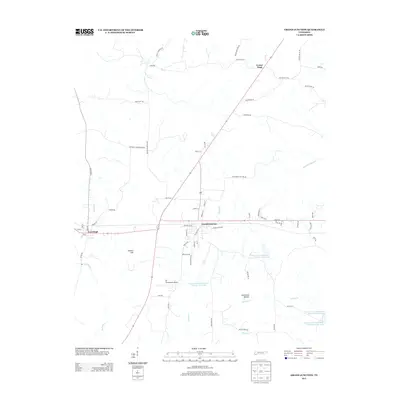
2013 Map of Grand Junction
USGS Topo · Published 2013About this map
Grand Junction and La Grange anchor this West Tennessee landscape, where the convergence of transportation and water management defines the local geography. The area is characterized by the Wolf River corridor and a series of flood control structures, including Indian Creek Watershed Number Two Lake and Indian Creek Watershed Number Four Lake. These water features, alongside Clemmons Bottom, suggest a low-lying terrain shaped by active conservation and drainage efforts.
Find a feature on this map
70 named features on this map. Tap any name to fly to it.
Don’t see what you’re looking for? This feature index may not catch every label — zoom into the map to look around manually.
Map Details
Editions of this 2013 Grand Junction Map
This is the sole edition of this map. No revisions or reprints were ever made.
Other maps of this area

1949 · Moscow
USGS Topo · 1:62,500

1950 · Ashland
USGS Topo · 1:62,500

1950 · Middleburg
USGS Topo · 1:24,000

1950 · Grand Junction
USGS Topo · 1:24,000

1951 · Middleburg
USGS Topo · 1:24,000

1951 · Hickory Valley
USGS Topo · 1:24,000

1951 · Grand Junction
USGS Topo · 1:24,000

1952 · Saulsbury
USGS Topo · 1:24,000

1953 · Holly Springs
USGS Topo · 1:62,500

1956 · Blytheville
USGS Topo · 1:250,000