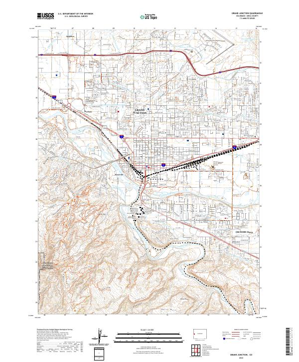
2022 Map of Grand Junction
USGS Topo · Published 2022About this map
The confluence of the Colorado River and the Gunnison River defines the landscape of Grand Junction, where the high desert meets a complex network of historic irrigation. A cluster of significant cemeteries, including the Potter's Field Historical Cem and the Masonic Cem, occupies the high ground south of the river bend, reflecting generations of local history. To the west, the transition into the Colorado National Monument is marked by a sudden ascent into red rock terrain, accessed by a dense network of trails such as No Thoroughfare Canyon and The Redlands. The map details the region's heavy reliance on water engineering, tracing the paths of the Government Highline Canal and the Orchard Mesa Canal Number 1 through the outlying settlements of Appleton, Orchard Mesa, and Rosevale. This modern survey captures a high-desert city balancing its role as a regional educational hub, home to Colorado Mesa University, with its agricultural roots in the Grand Valley.
Find a feature on this map
100 named features on this map. Tap any name to fly to it.
Don’t see what you’re looking for? This feature index may not catch every label — zoom into the map to look around manually.
Map Details
Editions of this 2022 Grand Junction Map
This is the sole edition of this map. No revisions or reprints were ever made.
Other maps of this area

1934 · Colorado National Monument
USGS Topo · 1:24,000

1956 · Moab
USGS Topo · 1:250,000

1956 · Grand Junction
USGS Topo · 1:250,000

1959 · Grand Junction
USGS Topo · 1:250,000

1959 · Moab
USGS Topo · 1:250,000

1960 · Moab
USGS Topo · 1:250,000

1960 · Grand Junction
USGS Topo · 1:250,000

1962 · Moab
USGS Topo · 1:250,000

1962 · Grand Junction
USGS Topo · 1:250,000

1962 · Fruita
USGS Topo · 1:24,000