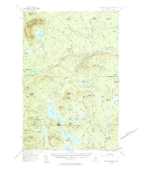
1954 Map of Grand Lake Seboeis
USGS Topo · Published 1961About this map
The Aroostook River winds through the northeastern corner of this territory, where the small settlement of Oxbow and Junkins Island mark a point of human activity in an otherwise remote timber and water landscape. The mid-century topography reveals a complex network of seasonal camps and logging infrastructure, including Junkins Camp, Foster Camp, and Salmon Pool along the river banks. A series of ridges like Sugar Berth Ridge and Smith Brook Ridge dictate the flow of numerous brooks and streams that feed into the region's larger basins.
Find a feature on this map
94 named features on this map. Tap any name to fly to it.
Don’t see what you’re looking for? This feature index may not catch every label — zoom into the map to look around manually.
Map Details
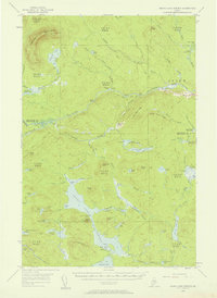
Editions of this 1954 Grand Lake Seboeis Map
3 editions found

Other maps of this area

1930 · Greenlaw
USGS Topo · 1:48,000

1931 · Ashland
USGS Topo · 1:48,000

1931 · Mooseleuk Lake
USGS Topo · 1:48,000

1933 · Greenlaw
USGS Topo · 1:62,500

1934 · Ashland
USGS Topo · 1:62,500

1935 · Mooseleuk Lake
USGS Topo · 1:62,500

1940 · Island Falls
USGS Topo · 1:62,500

1940 · Oxbow
USGS Topo · 1:62,500

1942 · Island Falls
USGS Topo · 1:62,500

1942 · Oxbow
USGS Topo · 1:62,500