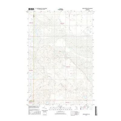
2017 Map of Grand Marais SE
USGS Topo · Published 2017About this map
The confluence and intricate branching of the N Br Two Hearted River and W Br Two Hearted River dominate this interior Upper Peninsula landscape. This 2017 survey reveals a terrain defined by its water system, where numerous small lakes like Barfield Lakes, Mortindary Lake, and Dillingham Lake are scattered across a complex network of wetlands and seasonal drainages. The map provides a clear look at the logging and recreation infrastructure of Luce Co, showing the passage of historic routes like the Mccloud Grade and the modern connectivity of Dillingham Rd. To the south, the landscape shifts toward clustered water bodies including Wheeler Lake and Moon Lake, illustrating the glacial legacy of the region's hydrography. This topographic study is essential for understanding the remote drainage basins of the Lake Superior watershed.
Find a feature on this map
33 named features on this map. Tap any name to fly to it.
Don’t see what you’re looking for? This feature index may not catch every label — zoom into the map to look around manually.
Map Details
Editions of this 2017 Grand Marais SE Map
This is the sole edition of this map. No revisions or reprints were ever made.
Other maps of this area

1931 · Seney NW
USGS Topo · 1:31,680

1954 · Sault Sainte Marie
USGS Topo · 1:250,000

1956 · Sault Sainte Marie
USGS Topo · 1:250,000

1957 · Sault Sainte Marie
USGS Topo · 1:250,000

1958 · Sault Sainte Marie
USGS Topo · 1:250,000
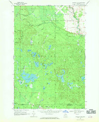
1968 · Nawakwa Lake
USGS Topo · 1:24,000

1968 · Muskallonge Lake SW
USGS Topo · 1:24,000

1968 · Muskallonge Lake West
USGS Topo · 1:24,000
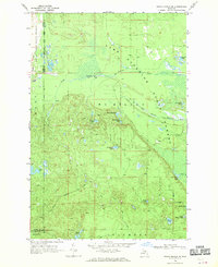
1968 · Grand Marais SE
USGS Topo · 1:24,000
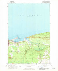
1968 · Grand Marais
USGS Topo · 1:24,000