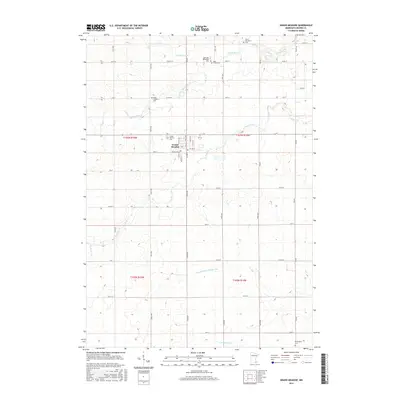
2016 Map of Grand Meadow
USGS Topo · Published 2016About this map
Grand Meadow serves as the central hub of this agricultural landscape in Mower County, where a dense grid of section roads like Co HWY 13 and 220 ST connects the surrounding farmsteads. The area is defined by the complex drainage of the Root River watershed, with the N Fork Bear Cr and S Fork Bear Cr meandering through the northern sections while the S Br Root River cuts across the southern edge. A significant piece of local water management history is visible in Judicial Ditch Number One, reflecting the region's efforts to optimize the fertile prairie soil for cultivation.
Find a feature on this map
48 named features on this map. Tap any name to fly to it.
Don’t see what you’re looking for? This feature index may not catch every label — zoom into the map to look around manually.
Map Details
Editions of this 2016 Grand Meadow Map
This is the sole edition of this map. No revisions or reprints were ever made.
Other maps of this area

1954 · Mason City
USGS Topo · 1:250,000

1955 · Stewartville
USGS Topo · 1:62,500

1955 · High Forest
USGS Topo · 1:62,500

1957 · Mason City
USGS Topo · 1:250,000

1958 · Mason City
USGS Topo · 1:250,000

1965 · Le Roy
USGS Topo · 1:24,000

1965 · Dexter
USGS Topo · 1:24,000

1965 · Spring Valley
USGS Topo · 1:24,000

1965 · Grand Meadow
USGS Topo · 1:24,000

1965 · Ostrander
USGS Topo · 1:24,000