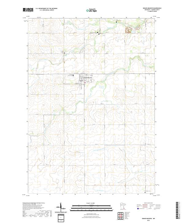
2022 Map of Grand Meadow
USGS Topo · Published 2022About this map
Grand Meadow serves as the primary hub in this corner of Mower County, where a rigid grid of agricultural roads like 740th Ave and 235 St defines the landscape. The region's history is preserved in its numerous rural burying grounds, including the Methodist Norwegian Cem and Sevar Temanson Cem in the north, and Saint Finbarrs Cem to the west. These sites, along with the Grand Meadow Cem, provide specific points of interest for genealogists tracing early families of the Minnesota prairie.
Find a feature on this map
48 named features on this map. Tap any name to fly to it.
Don’t see what you’re looking for? This feature index may not catch every label — zoom into the map to look around manually.
Map Details
Editions of this 2022 Grand Meadow Map
This is the sole edition of this map. No revisions or reprints were ever made.
Other maps of this area

1954 · Mason City
USGS Topo · 1:250,000

1955 · Stewartville
USGS Topo · 1:62,500

1955 · High Forest
USGS Topo · 1:62,500

1957 · Mason City
USGS Topo · 1:250,000

1958 · Mason City
USGS Topo · 1:250,000

1965 · Le Roy
USGS Topo · 1:24,000

1965 · Dexter
USGS Topo · 1:24,000

1965 · Spring Valley
USGS Topo · 1:24,000

1965 · Grand Meadow
USGS Topo · 1:24,000

1965 · Ostrander
USGS Topo · 1:24,000