
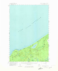
1958 Map of Grand Portal Point
USGS Topo · Published 1959About this map
Pictured Rocks and the distinctive formations at Grand Portal Point define this mid-century stretch of the Lake Superior shoreline. The landscape is characterized by a dense concentration of inland water bodies and dramatic coastal features, where Spray Creek and Chapel Creek reach the lake through Spray Falls and Chapel Falls. The interior transitions from the Hiawatha National Forest into the Burt State Forest, showing a wilderness managed for timber and conservation rather than settlement.
Find a feature on this map
42 named features on this map. Tap any name to fly to it.
Don’t see what you’re looking for? This feature index may not catch every label — zoom into the map to look around manually.
Map Details
Editions of this 1958 Grand Portal Point Map
2 editions found
Other maps of this area

1931 · Shingleton NE
USGS Topo · 1:31,680

1931 · Driggs Lake NW
USGS Topo · 1:31,680

1958 · Munising
USGS Topo · 1:62,500

1958 · Wood Island
USGS Topo · 1:62,500

1958 · Shingleton
USGS Topo · 1:62,500

1958 · Marquette
USGS Topo · 1:250,000

1960 · Marquette
USGS Topo · 1:250,000

1961 · Marquette
USGS Topo · 1:250,000
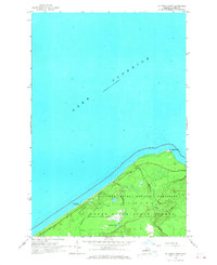
1966 · Au Sable Point
USGS Topo · 1:24,000
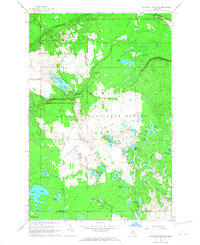
1966 · Au Sable Point SW
USGS Topo · 1:24,000