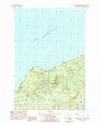
1983 Map of Grand Portal Point
USGS Topo · Published 1984About this map
Pictured Rocks National Lakeshore dominates this coastal survey, where the sandstone cliffs of the Upper Peninsula meet the expansive waters of Lake Superior. The landscape is defined by the hydrologic network of Munising township, featuring numerous dramatic cascades where inland waters drop toward the lake, including Chapel Falls, Spray Falls, and Mosquito Falls. This 1983 edition captures the area's transition into a preserved natural landscape, showcasing a network of pedestrian-only routes such as the Lakeshore Foot Trail. Inland, the terrain is dotted with small basins like Little Chapel Lake and Upper Shoe Lake, situated within the northern boundary of the Hiawatha National Forest. The presence of the Chapel Beach Campground and Mosquito Beach Campground indicates the established recreational infrastructure of the early 1980s, while the prominent Grand Portal Point and Chapel Rock remain as significant shoreline landmarks.
Find a feature on this map
25 named features on this map. Tap any name to fly to it.
Don’t see what you’re looking for? This feature index may not catch every label — zoom into the map to look around manually.
Map Details
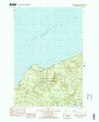
Editions of this 1983 Grand Portal Point Map
2 editions found
Other maps of this area

1931 · Shingleton NE
USGS Topo · 1:31,680

1958 · Munising
USGS Topo · 1:62,500

1958 · Wood Island
USGS Topo · 1:62,500

1958 · Shingleton
USGS Topo · 1:62,500

1958 · Grand Portal Point
USGS Topo · 1:62,500

1958 · Marquette
USGS Topo · 1:250,000

1960 · Marquette
USGS Topo · 1:250,000

1961 · Marquette
USGS Topo · 1:250,000

1968 · Marquette
USGS Topo · 1:250,000

1983 · Munising
USGS Topo · 1:100,000