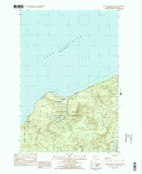
1983 Map of Grand Portal Point
USGS Topo · Published 1984About this map
Pictured Rocks National Lakeshore dominates the shoreline of Lake Superior on this Michigan Upper Peninsula survey. The map records the intricate network of inland water and coastal landmarks within Munising, including the prominent Grand Portal Point and Chapel Rock. This late-twentieth-century study shows a landscape deeply defined by recreational and conservation management, emphasizing the Lakeshore Trail as it winds past the Chapel Beach Campground and Mosquito Beach Campground. Inland, the drainage of the Mosquito River and Spray Creek feeds a series of cataracts including Chapel Falls and Mosquito Falls, while the southern reaches of the quadrangle transition into the Hiawatha National Forest. Researchers can trace the hydrological connection between Chapel Lake and its smaller neighbor, Little Chapel Lake, providing a detailed look at the backcountry before modern digital mapping.
Find a feature on this map
23 named features on this map. Tap any name to fly to it.
Don’t see what you’re looking for? This feature index may not catch every label — zoom into the map to look around manually.
Map Details
Editions of this 1983 Grand Portal Point Map
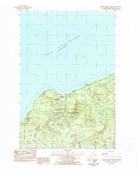
2 editions found
Other maps of this area

1931 · Shingleton NE
USGS Topo · 1:31,680

1958 · Munising
USGS Topo · 1:62,500

1958 · Wood Island
USGS Topo · 1:62,500

1958 · Shingleton
USGS Topo · 1:62,500

1958 · Grand Portal Point
USGS Topo · 1:62,500

1958 · Marquette
USGS Topo · 1:250,000

1960 · Marquette
USGS Topo · 1:250,000

1961 · Marquette
USGS Topo · 1:250,000

1968 · Marquette
USGS Topo · 1:250,000

1983 · Munising
USGS Topo · 1:100,000