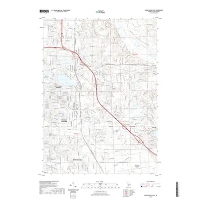
2019 Map of Grand Rapids East
USGS Topo · Published 2019About this map
East Grand Rapids and the southeastern suburbs of Grand Rapids define this 2019 survey, illustrating the modern residential and commercial density of Kentwood and Cascade. The landscape is characterized by a high concentration of educational and memorial sites, including the campuses of Calvin College, Cornerstone University, and the Calvin College Theological Seminary. These institutions are set against a backdrop of historic cemeteries such as Maple Grove Cem, Martin Cem, and the Chapel Hill Memorial Gardens.
Find a feature on this map
64 named features on this map. Tap any name to fly to it.
Don’t see what you’re looking for? This feature index may not catch every label — zoom into the map to look around manually.
Map Details
Editions of this 2019 Grand Rapids East Map
This is the sole edition of this map. No revisions or reprints were ever made.
Other maps of this area

1914 · Grand Rapids
USGS Topo · 1:62,500

1918 · Cedar Springs
USGS Topo · 1:62,500

1918 · Lowell
USGS Topo · 1:62,500

1943 · Cedar Springs
USGS Topo · 1:62,500

1943 · Grand Rapids
USGS Topo · 1:62,500

1943 · Lowell
USGS Topo · 1:62,500

1954 · Midland
USGS Topo · 1:250,000

1958 · Midland
USGS Topo · 1:250,000

1958 · Grand Rapids
USGS Topo · 1:250,000

1959 · Midland
USGS Topo · 1:250,000