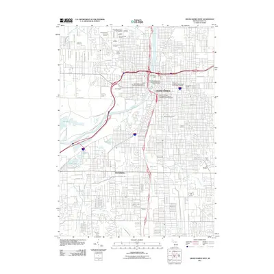
2011 Map of Grand Rapids West
USGS Topo · Published 2011About this map
Grand Rapids and its southern neighbor Wyoming occupy this urban landscape along the winding course of the Grand River. This 2011 edition shows a densely developed region notable for its concentration of historic burial grounds, including the large Mount Calvary Cemetery, Holy Cross Cemetery, and Saint Andrews Cemetery. The map also highlights a significant academic and civic core downtown, featuring the Grand Rapids Post Office and multiple university campuses such as Kendall College of Art and Design. To the west, the topography shifts toward recreational spaces like the John Ball Zoo and the Highlands Golf Course. Natural drainage is managed by several tributaries, with Plaster Creek and Buck Creek cutting through the southern suburbs, while Brandywine Creek and Indian Mill Creek define the northern limits of the quadrangle.
Find a feature on this map
86 named features on this map. Tap any name to fly to it.
Don’t see what you’re looking for? This feature index may not catch every label — zoom into the map to look around manually.
Map Details
Editions of this 2011 Grand Rapids West Map
This is the sole edition of this map. No revisions or reprints were ever made.
Other maps of this area

1914 · Grand Rapids
USGS Topo · 1:62,500

1918 · Cedar Springs
USGS Topo · 1:62,500

1943 · Cedar Springs
USGS Topo · 1:62,500

1943 · Grand Rapids
USGS Topo · 1:62,500

1945 · Ravenna
USGS Topo · 1:62,500

1954 · Midland
USGS Topo · 1:250,000

1958 · Midland
USGS Topo · 1:250,000

1958 · Grandville
USGS Topo · 1:62,500

1958 · Grandville
USGS Topo · 1:24,000

1958 · Grand Rapids
USGS Topo · 1:250,000