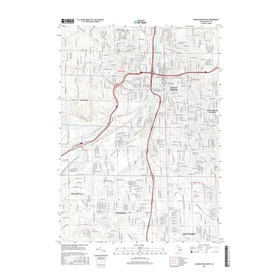
2017 Map of Grand Rapids West
USGS Topo · Published 2017About this map
The Grand River serves as the central artery for this urban landscape, carving through Grand Rapids and linking its neighboring communities of Walker, Wyoming, and Grandville. This 2017 study illustrates a dense metropolitan footprint defined by major academic institutions like the Grand Valley State Univ Downtown Campus and Aquinas Coll, alongside a remarkable concentration of historical burial grounds including Holy Cross Cem and Fulton Street Cem. To the southeast, East Grand Rapids and Kentwood showcase a transition from the core city grid into more suburban patterns. The preservation of green space is evident along the Ken-O-Sha Trail and the banks of Plaster Cr, offering a detailed look at how the region's natural hydrology, including Indian Mill Cr and Brandywine Cr, persists amidst significant 21st-century development.
Find a feature on this map
43 named features on this map. Tap any name to fly to it.
Don’t see what you’re looking for? This feature index may not catch every label — zoom into the map to look around manually.
Map Details
Editions of this 2017 Grand Rapids West Map
This is the sole edition of this map. No revisions or reprints were ever made.
Other maps of this area

1914 · Grand Rapids
USGS Topo · 1:62,500

1918 · Cedar Springs
USGS Topo · 1:62,500

1943 · Cedar Springs
USGS Topo · 1:62,500

1943 · Grand Rapids
USGS Topo · 1:62,500

1945 · Ravenna
USGS Topo · 1:62,500

1954 · Midland
USGS Topo · 1:250,000

1958 · Midland
USGS Topo · 1:250,000

1958 · Grandville
USGS Topo · 1:62,500

1958 · Grandville
USGS Topo · 1:24,000

1958 · Grand Rapids
USGS Topo · 1:250,000