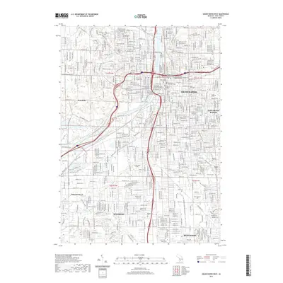
2019 Map of Grand Rapids West
USGS Topo · Published 2019About this map
The Grand River bisects this urban landscape, serving as a central geographical feature that separates Walker and Grandville from the core of Grand Rapids. This 2019 survey captures a modern metropolitan region densely packed with civic and educational institutions, including the Grand Valley State University Downtown Campus and the Kent County Courthouse. The map is particularly notable for its concentration of historic burial grounds, such as Saints Peter and Paul's Lithuanian Catholic Cem, Mount Calvary Cem, and Greenwood Cem, which provide significant data points for genealogical research. The expansion of the city is evident in the residential developments surrounding Wyoming and Kentwood, while recreational corridors like the Ken-O-Sha Trail follow the path of Plaster Cr through the southern suburbs.
Find a feature on this map
52 named features on this map. Tap any name to fly to it.
Don’t see what you’re looking for? This feature index may not catch every label — zoom into the map to look around manually.
Map Details
Editions of this 2019 Grand Rapids West Map
This is the sole edition of this map. No revisions or reprints were ever made.
Other maps of this area

1914 · Grand Rapids
USGS Topo · 1:62,500

1918 · Cedar Springs
USGS Topo · 1:62,500

1943 · Cedar Springs
USGS Topo · 1:62,500

1943 · Grand Rapids
USGS Topo · 1:62,500

1945 · Ravenna
USGS Topo · 1:62,500

1954 · Midland
USGS Topo · 1:250,000

1958 · Midland
USGS Topo · 1:250,000

1958 · Grandville
USGS Topo · 1:62,500

1958 · Grandville
USGS Topo · 1:24,000

1958 · Grand Rapids
USGS Topo · 1:250,000