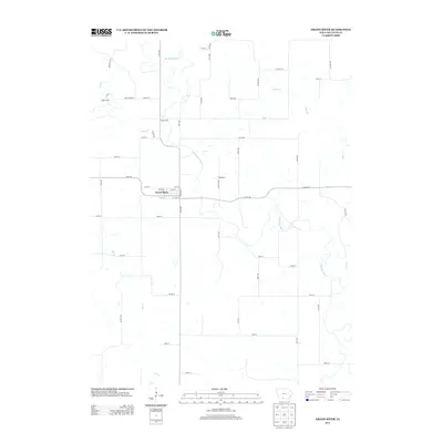
2013 Map of Grand River
USGS Topo · Published 2013About this map
The Thompson River defines the central topography of this Decatur County landscape, winding south through a rural patchwork of section lines and river bottomlands. The town of Grand River serves as the primary settlement, organized around a compact grid that includes Riverside St and several numbered streets. Further north along the river's path lies the smaller community of Westerville, while the settlement of Woodland sits to the east, connected by Co Rd J20.
Find a feature on this map
53 named features on this map. Tap any name to fly to it.
Don’t see what you’re looking for? This feature index may not catch every label — zoom into the map to look around manually.
Map Details
Editions of this 2013 Grand River Map
This is the sole edition of this map. No revisions or reprints were ever made.
Other maps of this area
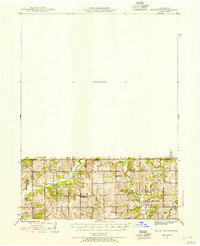
1945 · Mount Ayr
USGS Topo · 1:62,500
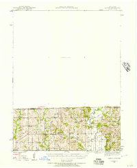
1945 · Lamoni
USGS Topo · 1:62,500
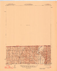
1947 · Lamoni
USGS Topo · 1:62,500
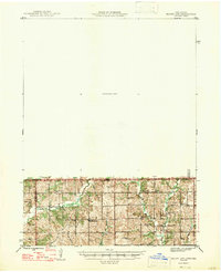
1947 · Mount Ayr
USGS Topo · 1:62,500
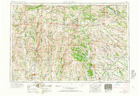
1954 · Centerville
USGS Topo · 1:250,000
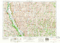
1955 · Nebraska City
USGS Topo · 1:250,000
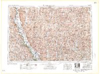
1957 · Nebraska City
USGS Topo · 1:250,000
1957 · Centerville
USGS Topo · 1:250,000
1958 · Centerville
USGS Topo · 1:250,000
1958 · Nebraska City
USGS Topo · 1:250,000