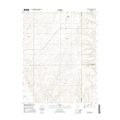
2015 Map of Grand Summit
USGS Topo · Published 2015About this map
Grand Summit sits at the northern edge of a landscape defined by its high plateaus and crossing drainage systems where the borders of Cowley, Elk, and Chautauqua counties meet. This ranch-dominated region is marked by an extensive network of named local routes, including 313rd Rd and various Priv Ranch Rd segments that snake through the undulating terrain. The drainage patterns are clearly defined by Cedar Cr and Otter Cr, which carve through the Flint Hills topography. To the southwest, the Gospel Ridge Cem provides a significant touchstone for genealogical research in this sparsely populated area. The map reveals a highly structured land system with numerous section lines and ranch roads, reflecting the persistent agricultural and ranching legacy of south-central Kansas.
Find a feature on this map
22 named features on this map. Tap any name to fly to it.
Don’t see what you’re looking for? This feature index may not catch every label — zoom into the map to look around manually.
Map Details
Editions of this 2015 Grand Summit Map
This is the sole edition of this map. No revisions or reprints were ever made.
Other maps of this area

1885 · Sedan
USGS Topo · 1:125,000

1889 · Burden
USGS Topo · 1:125,000

1889 · Sedan
USGS Topo · 1:125,000

1955 · Wichita
USGS Topo · 1:250,000

1958 · Wichita
USGS Topo · 1:250,000

1962 · Grand Summit
USGS Topo · 1:24,000

1962 · Dexter
USGS Topo · 1:24,000
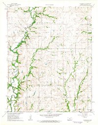
1962 · Cloverdale
USGS Topo · 1:24,000
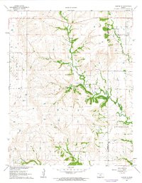
1962 · Dexter NE
USGS Topo · 1:24,000
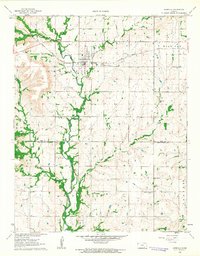
1962 · Grenola
USGS Topo · 1:24,000