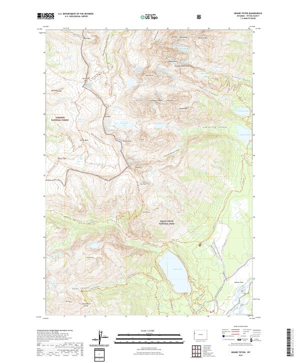
2021 Map of Grand Teton
USGS Topo · Published 2021About this map
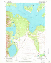
Grand Teton National Park dominates this survey, showcasing the vertical drama where the Cathedral Group rises above the valley floor. High-altitude features like the Schoolroom Glacier and Teton Glacier persist among the peaks, while the Snake River winds through the eastern edge near Moose-Wilson Road. The map documents a complex network of backcountry routes, including the Teton Crest South Trl and the Death Canyon Trl, which connect the high basins to the lakes below.
Find a feature on this map
96 named features on this map. Tap any name to fly to it.
Don’t see what you’re looking for? This feature index may not catch every label — zoom into the map to look around manually.
Map Details
Editions of this 2021 Grand Teton Map
This is the sole edition of this map. No revisions or reprints were ever made.
Other maps of this area

1899 · Grand Teton
USGS Topo · 1:125,000

1901 · Grand Teton
USGS Topo · 1:125,000

1955 · Driggs
USGS Topo · 1:250,000

1958 · Driggs
USGS Topo · 1:250,000

1962 · Driggs
USGS Topo · 1:250,000
1968 · Granite Basin
USGS Topo · 1:24,000
1968 · Teton Village
USGS Topo · 1:24,000

1968 · Moose
USGS Topo · 1:24,000
1968 · Grand Teton
USGS Topo · 1:24,000
1968 · Jenny Lake
USGS Topo · 1:24,000