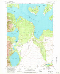
1968 Map of Jenny Lake
USGS Topo · Published 1972About this map
Grand Teton National Park terrain is defined by the high-elevation glacial lakes and the steep eastern front of the Teton Range. This late 1960s survey documents the park's developed recreational infrastructure, centered on Jenny Lake and its surrounding trail network. The eastern shore features the Jenny Lake Lodge, Ranger Sta, and Jenny Lake Campground, while the western shore is accessible via the Jenny Lake Trail leading to landmarks like Inspiration Pt and Hidden Falls. To the north, the map captures the expansive southern waters of Jackson Lake, including Spalding Bay and Bearpaw Bay. Landforms like Hermitage Point and the Potholes illustrate the complex glacial geology of Jackson Hole, with the Snake River cutting through the southeastern corner below the Burned Ridge.
Find a feature on this map
47 named features on this map. Tap any name to fly to it.
Don’t see what you’re looking for? This feature index may not catch every label — zoom into the map to look around manually.
Map Details
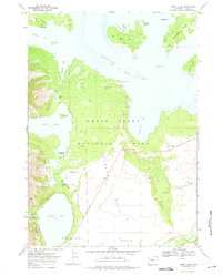
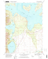
Editions of this 1968 Jenny Lake Map
3 editions found
Other maps of this area

1899 · Grand Teton
USGS Topo · 1:125,000

1901 · Grand Teton
USGS Topo · 1:125,000

1955 · Driggs
USGS Topo · 1:250,000

1958 · Driggs
USGS Topo · 1:250,000

1962 · Driggs
USGS Topo · 1:250,000

1968 · Moose
USGS Topo · 1:24,000
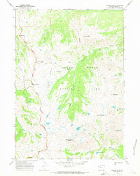
1968 · Ranger Peak
USGS Topo · 1:24,000
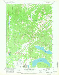
1968 · Two Ocean Lake
USGS Topo · 1:24,000
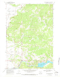
1968 · Shadow Mountain
USGS Topo · 1:24,000
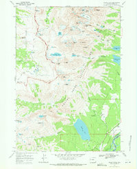
1968 · Grand Teton
USGS Topo · 1:24,000