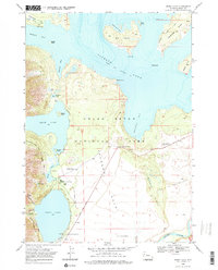
1968 Map of Jenny Lake
USGS Topo · Published 1975About this map
Grand Teton National Park's central corridor is documented here during the late 1960s, showing a landscape defined by glacial lakes and the emerging recreational infrastructure of the post-war era. Visitors at the time navigated the region via the Teton Park Road, which links key points of interest like the Cathedral Group Scenic Turnout and Mount Moran Scenic Turnout. The map captures the interface between the deep waters of Jackson Lake and the smaller, iconic basins of Leigh Lake and Jenny Lake.
Find a feature on this map
50 named features on this map. Tap any name to fly to it.
Don’t see what you’re looking for? This feature index may not catch every label — zoom into the map to look around manually.
Map Details
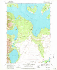
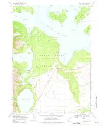
Editions of this 1968 Jenny Lake Map
3 editions found
Other maps of this area

1899 · Grand Teton
USGS Topo · 1:125,000

1901 · Grand Teton
USGS Topo · 1:125,000

1955 · Driggs
USGS Topo · 1:250,000

1958 · Driggs
USGS Topo · 1:250,000

1962 · Driggs
USGS Topo · 1:250,000

1968 · Moose
USGS Topo · 1:24,000
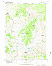
1968 · Ranger Peak
USGS Topo · 1:24,000
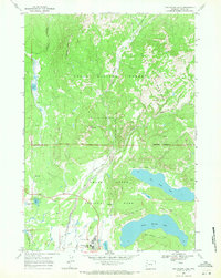
1968 · Two Ocean Lake
USGS Topo · 1:24,000
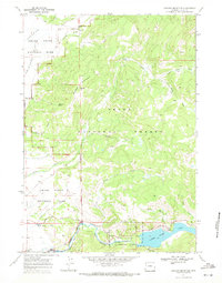
1968 · Shadow Mountain
USGS Topo · 1:24,000
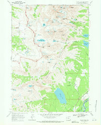
1968 · Grand Teton
USGS Topo · 1:24,000