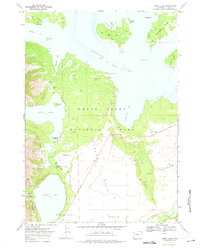
1968 Map of Jenny Lake
USGS Topo · Published 1975About this map
Jenny Lake and the southeastern reaches of Jackson Lake dominate this 1968 field-checked survey of the Teton wilderness. The map details a sophisticated network of recreational infrastructure within Grand Teton National Park, ranging from the Jenny Lake Lodge and Ranger Station to primitive backcountry locations like the Patrol Cabin near Moran Bay. The terrain transitions from the glacial waters of Leigh Lake and String Lake to the complex geological features of Jackson Hole, including the moraine-strewn area known as The Potholes. For researchers, the map provides an exact look at the historic trail system, including the Jenny Lake Moraine Horse Trail and the Valley Trail, documenting the established routes used for mountain access and park management before the late-twentieth-century increase in tourism.
Find a feature on this map
49 named features on this map. Tap any name to fly to it.
Don’t see what you’re looking for? This feature index may not catch every label — zoom into the map to look around manually.
Map Details
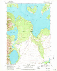
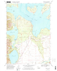
Editions of this 1968 Jenny Lake Map
3 editions found
Other maps of this area

1899 · Grand Teton
USGS Topo · 1:125,000

1901 · Grand Teton
USGS Topo · 1:125,000

1955 · Driggs
USGS Topo · 1:250,000

1958 · Driggs
USGS Topo · 1:250,000

1962 · Driggs
USGS Topo · 1:250,000

1968 · Moose
USGS Topo · 1:24,000
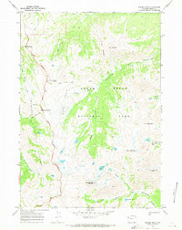
1968 · Ranger Peak
USGS Topo · 1:24,000
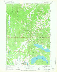
1968 · Two Ocean Lake
USGS Topo · 1:24,000
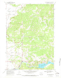
1968 · Shadow Mountain
USGS Topo · 1:24,000
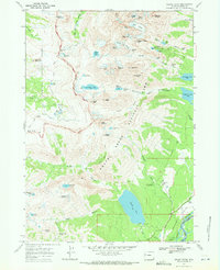
1968 · Grand Teton
USGS Topo · 1:24,000