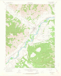
1962 Map of Grand Valley
USGS Topo · Published 1964About this map
Colorado River waters define this early 1960s landscape, where the settlement of Grand Valley sits at the junction of mountain terrain and the vital Denver and Rio Grande Western River corridor. The area shows a sophisticated irrigation network essential for high-altitude agriculture, including the Diamond Ditch, Cornell Ditch, and Low Cost Ditch. To the north, the presence of the Naval Oil Shale Reserve and the prominence of Mount Callahan signal the region's industrial and geological significance. Local history is deeply rooted in the valley, evidenced by the Russey-Hurlburth Cem and Battlement Cem, alongside early community anchors like High Sch and Battlement Sch. This survey also documents early energy infrastructure through scattered Gas Wells and a Quarry near Stone Gulch.
Find a feature on this map
35 named features on this map. Tap any name to fly to it.
Don’t see what you’re looking for? This feature index may not catch every label — zoom into the map to look around manually.
Map Details
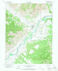
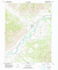
Editions of this 1962 Grand Valley Map
3 editions found
Other maps of this area

1906 · Grand Hogback
USGS Topo · 1:125,000

1910 · Grand Hogback
USGS Topo · 1:125,000

1925 · Parachute Creek
USGS Topo · 1:62,500

1927 · Parachute Creek
USGS Topo · 1:62,500

1929 · Grand Valley
USGS Topo · 1:62,500

1952 · Anvil Points
USGS Topo · 1:24,000

1956 · Grand Junction
USGS Topo · 1:250,000

1957 · Leadville
USGS Topo · 1:250,000

1959 · Grand Junction
USGS Topo · 1:250,000

1959 · Leadville
USGS Topo · 1:250,000