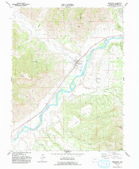
1962 Map of Parachute
USGS Topo · Published 1992About this map
Colorado River valley life and energy industry intersect on this 1962 survey of the Garfield County landscape. The town of Parachute serves as the central hub, supported by irrigation infrastructure like the Cornell Ditch and Daisy DITCH. The map documents a rural community defined by local landmarks like the Rodeo Ground and the Battlement School, while the surrounding terrain rises sharply toward Mount Callahan and the expansive Battlement Mesa.
Find a feature on this map
38 named features on this map. Tap any name to fly to it.
Don’t see what you’re looking for? This feature index may not catch every label — zoom into the map to look around manually.
Map Details
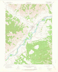
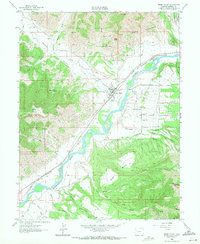
Editions of this 1962 Parachute Map
3 editions found
Other maps of this area

1906 · Grand Hogback
USGS Topo · 1:125,000

1910 · Grand Hogback
USGS Topo · 1:125,000

1925 · Parachute Creek
USGS Topo · 1:62,500

1927 · Parachute Creek
USGS Topo · 1:62,500

1929 · Grand Valley
USGS Topo · 1:62,500

1952 · Anvil Points
USGS Topo · 1:24,000

1956 · Grand Junction
USGS Topo · 1:250,000

1957 · Leadville
USGS Topo · 1:250,000

1959 · Grand Junction
USGS Topo · 1:250,000

1959 · Leadville
USGS Topo · 1:250,000