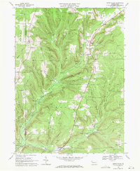
1968 Map of Grand Valley
USGS Topo · Published 1971About this map
The Caldwell Creek valley and its surrounding highlands define this region of the Pennsylvania oil country during the late 1960s. The landscape is heavily marked by energy extraction, with a dense network of Oil Wells and multiple Compressor Sta facilities scattered throughout the Oil Field zones. These industrial features sit alongside the rural settlements of Grand Valley and Enterprise, where the local economy was built on the intersection of timber and petroleum.
Find a feature on this map
44 named features on this map. Tap any name to fly to it.
Don’t see what you’re looking for? This feature index may not catch every label — zoom into the map to look around manually.
Map Details
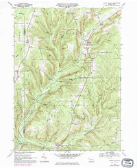
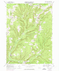
Editions of this 1968 Grand Valley Map
3 editions found
Other maps of this area

1926 · Youngsville
USGS Topo · 1:62,500

1927 · Tidioute
USGS Topo · 1:48,000

1927 · Titusville
USGS Topo · 1:62,500

1929 · Corry
USGS Topo · 1:48,000

1929 · Youngsville
USGS Topo · 1:62,500

1930 · Tidioute
USGS Topo · 1:62,500

1932 · Corry
USGS Topo · 1:62,500

1933 · Titusville
USGS Topo · 1:62,500

1943 · Youngsville
USGS Topo · 1:62,500

1957 · Warren
USGS Topo · 1:250,000