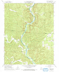
1968 Map of Grandin SW
USGS Topo · Published 1969About this map
The Current River meanders through this portion of the Ozark National Scenic Riverways, a landscape defined by sharp ridges and deep hollows in the late 1960s. This survey, coordinated by State Geologist William C. Hayes, documents the rugged transition between the Mark Twain National Forest and the Ripley-Carter county line. Local history is anchored by rural landmarks such as Good Hope Ch and several family burial sites, including Ponder Cem, Lewis Cem, and Hofstader Cem. The infrastructure of forest management and early recreation is evident through the Panther Lookout Tower and sites like Hawes Recreation Area. Water sources are a central theme, from Twin Springs and Panther Spring to the numerous drainage networks of Valley Creek and Cedar Creek.
Find a feature on this map
37 named features on this map. Tap any name to fly to it.
Don’t see what you’re looking for? This feature index may not catch every label — zoom into the map to look around manually.
Map Details
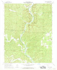
Editions of this 1968 Grandin SW Map
2 editions found
Other maps of this area
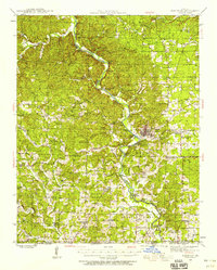
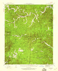
1939 · Doniphan
USGS Topo · 1:62,500
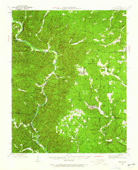
1941 · Gatewood
USGS Topo · 1:62,500
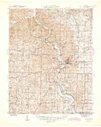
1944 · Van Buren
USGS Topo · 1:62,500
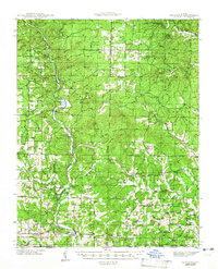
1944 · Grandin
USGS Topo · 1:62,500
1945 · Doniphan
USGS Topo · 1:62,500
1945 · Gatewood
USGS Topo · 1:62,500
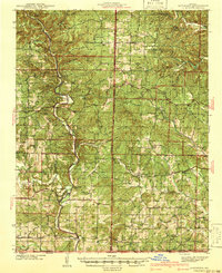
1946 · Grandin
USGS Topo · 1:62,500
1946 · Van Buren
USGS Topo · 1:62,500

1957 · Poplar Bluff
USGS Topo · 1:250,000

1959 · Poplar Bluff
USGS Topo · 1:250,000