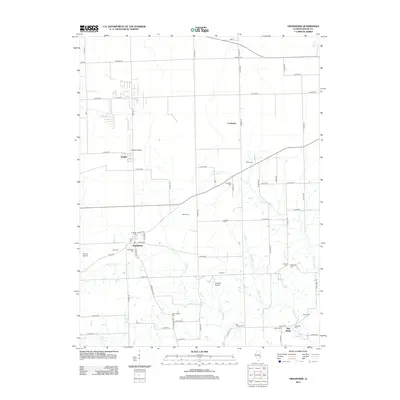
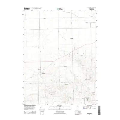
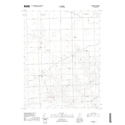
1982 Map of Grandview
USGS Topo · Published 1983About this map
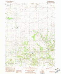
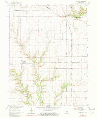
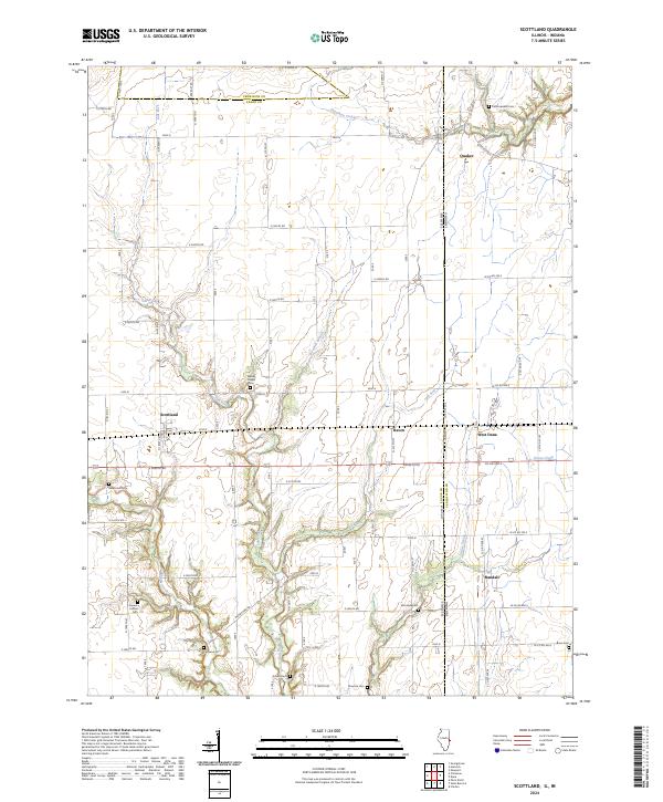
Grandview and the surrounding agricultural landscape of Edgar County are defined by a grid of rural roads and scattered family cemeteries in this early 1980s survey. The terrain is marked by the headwaters of the Embarrass river and the winding course of Big Creek, which carves through the southern townships of Grandview and Symmes. A notable concentration of small burial grounds, including the somberly named Cholera Cem and the Augustus Cem, provides a map for genealogists tracing local lineage.
Find a feature on this map
31 named features on this map. Tap any name to fly to it.
Don’t see what you’re looking for? This feature index may not catch every label — zoom into the map to look around manually.
Map Details
Editions of this 1982 Grandview Map
This is the sole edition of this map. No revisions or reprints were ever made.
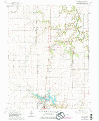
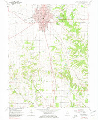
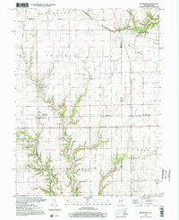
Historical Maps of Grandview Through Time
29 maps found
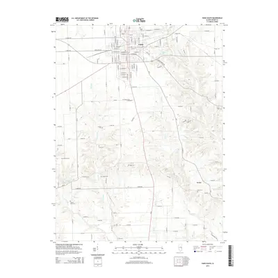
1950 Sandford
Edgar County, IL
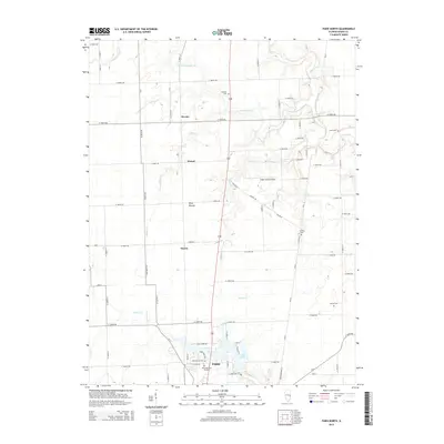
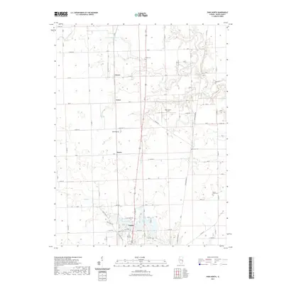
1951 Saint Bernice
Edgar County, IL
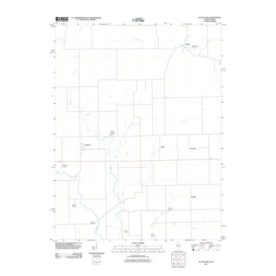
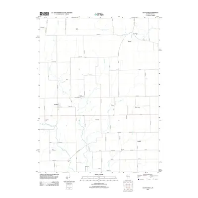
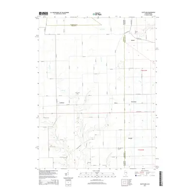
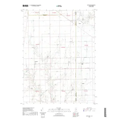
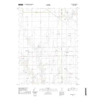
1955 Scottland
Edgar County, IL
1965 Scottland
Edgar County, IL
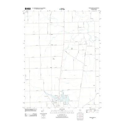
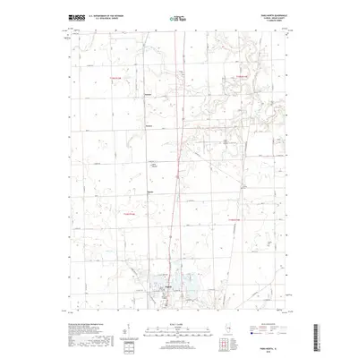
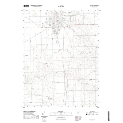
1966 Paris North
Edgar County, IL
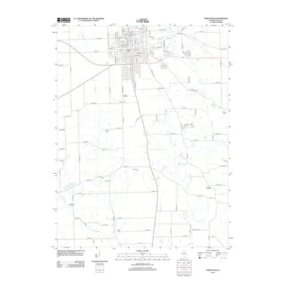
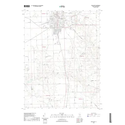
1966 Paris South
Edgar County, IL
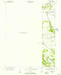
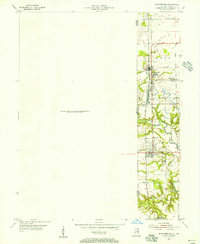
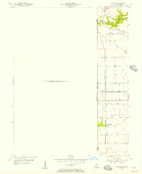
1982 Grandview
Edgar County, IL
1998 Scottland
Edgar County, IL
2011 Scottland
Edgar County, IL
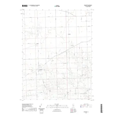
2012 Grandview
Edgar County, IL
2012 Paris North
Edgar County, IL
2012 Paris South
Edgar County, IL
2012 Scottland
Edgar County, IL
2015 Grandview
Edgar County, IL
2015 Paris North
Edgar County, IL
2015 Paris South
Edgar County, IL
2015 Scottland
Edgar County, IL
2018 Grandview
Edgar County, IL
2018 Paris North
Edgar County, IL
2018 Paris South
Edgar County, IL
2018 Scottland
Edgar County, IL
2021 Grandview
Edgar County, IL
2021 Paris North
Edgar County, IL
2021 Paris South
Edgar County, IL
2021 Scottland
Edgar County, IL
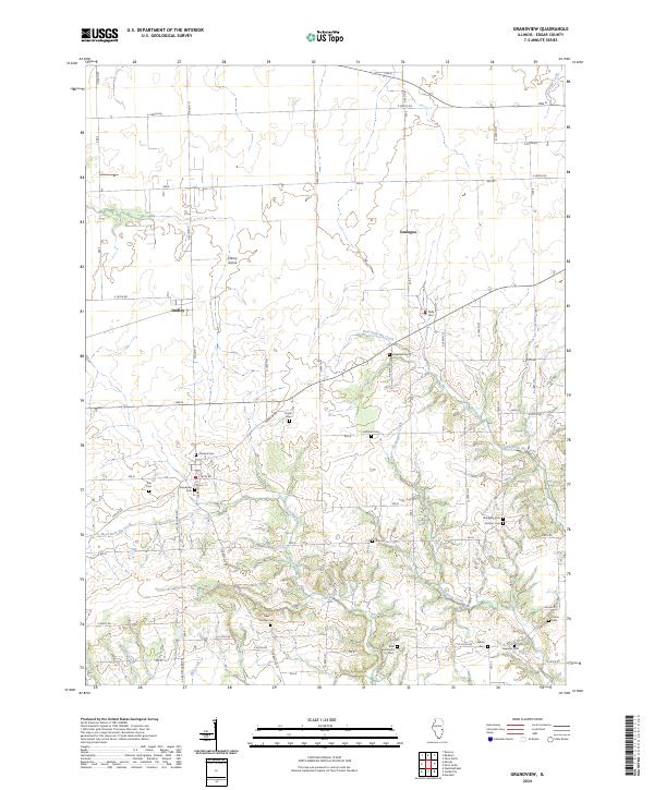
2024 Grandview
Edgar County, IL
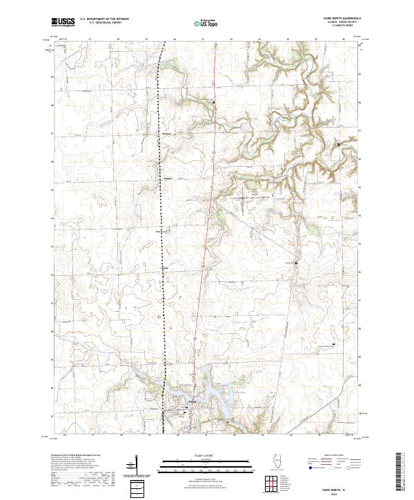
2024 Paris North
Edgar County, IL
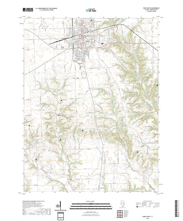
2024 Paris South
Edgar County, IL
2024 Scottland
Edgar County, IL