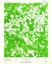
1961 Map of Grange
USGS Topo · Published 1963About this map
Grange and Shelbyville anchor this early 1960s survey of the Arkansas Ozark foothills, where the landscape is defined by the winding drainages of Mill Creek, Lick Creek, and Curia Creek. The terrain is partitioned into several distinct regions including South Big Rock, Big Creek, and Dota, reflecting a patchwork of forested uplands and cleared valleys. This period shows a rural community tied closely to its local landmarks, with numerous family and community burial grounds such as Sullivan Cem, Roe Cem, and Parsley Cem scattered across the township lines. Religious life is centered at several country congregations, including Fairview Ch and Mt View Ch. A notable landmark for the era is the Charlotte Lookout Tower, positioned to monitor the heavily wooded stretches of the Scott and Barren districts. The map also documents the boundary between Sharp and Independence Counties, illustrating how the road network navigated this dissected landscape before modern highway developments.
Find a feature on this map
37 named features on this map. Tap any name to fly to it.
Don’t see what you’re looking for? This feature index may not catch every label — zoom into the map to look around manually.
Map Details
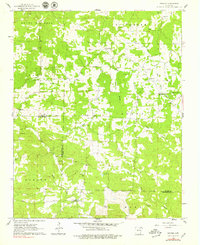
Editions of this 1961 Grange Map
2 editions found
Other maps of this area

1890 · Batesville
USGS Topo · 1:125,000

1891 · Batesville
USGS Topo · 1:125,000

1932 · Strawberry
USGS Topo · 1:62,500

1935 · Strawberry
USGS Topo · 1:62,500

1941 · Strawberry
USGS Topo · 1:62,500

1943 · Cave City
USGS Topo · 1:31,680

1943 · Sulphur Rock
USGS Topo · 1:31,680

1953 · Memphis
USGS Topo · 1:250,000

1954 · Charlotte
USGS Topo · 1:24,000

1955 · Strawberry
USGS Topo · 1:24,000