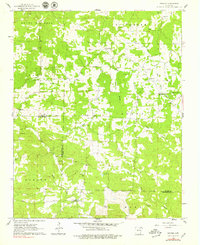
1961 Map of Grange
USGS Topo · Published 1979About this map
The boundary between Sharp and Independence County runs through this landscape of winding creek prongs and upland ridges. Small settlements like Grange and Shelbyville anchor a rural network of family-named cemeteries and community churches, reflecting the genealogy of this Ozark foothills region. The terrain is defined by its drainages, including the North Prong and South Prong of Reeds Creek, and the southern flow of Curia Creek.
Find a feature on this map
40 named features on this map. Tap any name to fly to it.
Don’t see what you’re looking for? This feature index may not catch every label — zoom into the map to look around manually.
Map Details
Editions of this 1961 Grange Map
2 editions found
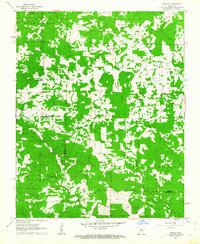
Other maps of this area

1890 · Batesville
USGS Topo · 1:125,000

1891 · Batesville
USGS Topo · 1:125,000

1932 · Strawberry
USGS Topo · 1:62,500

1935 · Strawberry
USGS Topo · 1:62,500

1941 · Strawberry
USGS Topo · 1:62,500

1943 · Cave City
USGS Topo · 1:31,680

1943 · Sulphur Rock
USGS Topo · 1:31,680

1953 · Memphis
USGS Topo · 1:250,000

1954 · Charlotte
USGS Topo · 1:24,000

1955 · Strawberry
USGS Topo · 1:24,000