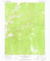
1967 Map of Granger Mtn
USGS Topo · Published 1978About this map
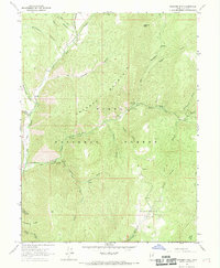
Granger Mountain and the deep drainages of the Uinta National Forest define this 1967 survey of Utah County's high country. The landscape is oriented around the forks of Hobble Creek, where the Hobble Cr Guard Sta serves as a central point for forest management. This era shows the development of outdoor recreation in the Wasatch Range, documented by numerous sites including Camp Hobble Creek, Balsam Campground, and Kolob Campground.
Find a feature on this map
37 named features on this map. Tap any name to fly to it.
Don’t see what you’re looking for? This feature index may not catch every label — zoom into the map to look around manually.
Map Details
Editions of this 1967 Granger Mtn Map
2 editions found
Other maps of this area

1885 · Salt Lake
USGS Topo · 1:250,000

1907 · Strawberry Valley
USGS Topo · 1:125,000

1909 · Strawberry Valley
USGS Topo · 1:125,000

1948 · Orem
USGS Topo · 1:62,500

1948 · Springville
USGS Topo · 1:24,000

1948 · Bridal Veil Falls
USGS Topo · 1:24,000

1949 · Provo
USGS Topo · 1:62,500

1949 · Spanish Fork Peak
USGS Topo · 1:24,000
1950 · Bridal Veil Falls
USGS Topo · 1:24,000
1950 · Springville
USGS Topo · 1:24,000