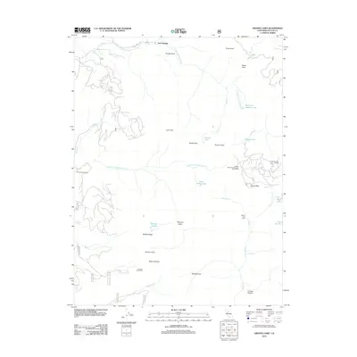
2012 Map of Granite Chief
USGS Topo · Published 2012About this map
Soda Springs serves as the northern anchor for this high-altitude landscape where the headwaters of the N Fork American River and Middle Fork American River originate. The terrain is marked by prominent alpine peaks and historical landmarks, including the Watson Monument Emigrant Pass Marker and the Johnson Monument, signifying the area's importance as a passage through the Sierra Nevada. To the east, the Squaw Valley Ski Area sits near Squaw Peak and Shirley Lake, while the central wilderness contains secluded water bodies like Needle Lake and Mildred Lakes. The map reveals a network of canyons and ridges, such as Grouse Canyon and Mildred Ridge, that separate the various drainages and high valleys like Picayune Valley, illustrating the complex hydrology that feeds the American River system.
Find a feature on this map
40 named features on this map. Tap any name to fly to it.
Don’t see what you’re looking for? This feature index may not catch every label — zoom into the map to look around manually.
Map Details
Editions of this 2012 Granite Chief Map
This is the sole edition of this map. No revisions or reprints were ever made.
Other maps of this area

1891 · Truckee
USGS Topo · 1:125,000

1893 · Truckee
USGS Topo · 1:125,000

1895 · Truckee
USGS Topo · 1:125,000

1932 · Truckee
USGS Topo · 1:96,000

1940 · Truckee
USGS Topo · 1:125,000

1953 · Granite Chief
USGS Topo · 1:24,000
1953 · Royal Gorge
USGS Topo · 1:24,000
1953 · Wentworth Springs
USGS Topo · 1:24,000
1953 · Bunker Hill
USGS Topo · 1:24,000

1953 · Granite Chief
USGS Topo · 1:62,500