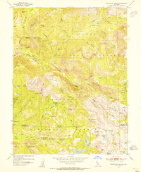
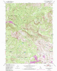
1953 Map of Wentworth Springs
USGS Topo · Published 1955About this map
Wentworth Springs and its surrounding high-country landscape define this mid-century survey of the Sierra Nevada. The map captures a transitional moment for the region’s land use, where the resource extraction of the Tungsten Mine near Grayhorse Valley coexists with the early recreation infrastructure of the Wentworth Springs Campground. The terrain is marked by high-altitude water bodies, including Loon Lake and the smaller Spider Lake, which feed into the drainage of the Rubicon River.
Find a feature on this map
63 named features on this map. Tap any name to fly to it.
Don’t see what you’re looking for? This feature index may not catch every label — zoom into the map to look around manually.
Map Details
Editions of this 1953 Wentworth Springs Map
5 editions found
Other maps of this area

1889 · Pyramid Peak
USGS Topo · 1:125,000

1891 · Truckee
USGS Topo · 1:125,000

1891 · Pyramid Peak
USGS Topo · 1:125,000

1893 · Truckee
USGS Topo · 1:125,000

1895 · Pyramid Peak
USGS Topo · 1:125,000

1895 · Truckee
USGS Topo · 1:125,000

1896 · Pyramid Peak
USGS Topo · 1:125,000

1932 · Truckee
USGS Topo · 1:96,000

1940 · Truckee
USGS Topo · 1:125,000

1947 · Sacramento
USGS Topo · 1:250,000