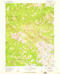
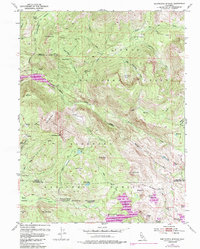
1953 Map of Wentworth Springs
USGS Topo · Published 1959About this map
Wentworth Springs (Mineral Springs) serves as a primary point of interest in this mid-century survey of the high Sierras at the border of Tahoe National Forest and Eldorado National Forest. The landscape is defined by the high-elevation waters of the Rubicon River and its numerous glacial lakes, including Loon Lake, Spider Lake, and McKinstry Lake. Human activity in this period is represented by isolated outposts like Miranda Cabin and Murry Camp, along with resource extraction at the Tungsten Mine. Transport is limited to primitive routes such as the Grayhorse Jeep Trail and the Upper Hell Hole Trail, reflecting the difficult topography of The Pinnacles and Red Cliffs. This sheet documents a network of meadows and springs, including Dellar Meadow and Joes Spring, providing a record of the region's geography before more modern developments impacted the watershed.
Find a feature on this map
66 named features on this map. Tap any name to fly to it.
Don’t see what you’re looking for? This feature index may not catch every label — zoom into the map to look around manually.
Map Details
Editions of this 1953 Wentworth Springs Map
5 editions found
Other maps of this area

1889 · Pyramid Peak
USGS Topo · 1:125,000

1891 · Truckee
USGS Topo · 1:125,000

1891 · Pyramid Peak
USGS Topo · 1:125,000

1893 · Truckee
USGS Topo · 1:125,000

1895 · Pyramid Peak
USGS Topo · 1:125,000

1895 · Truckee
USGS Topo · 1:125,000

1896 · Pyramid Peak
USGS Topo · 1:125,000

1932 · Truckee
USGS Topo · 1:96,000

1940 · Truckee
USGS Topo · 1:125,000

1947 · Sacramento
USGS Topo · 1:250,000