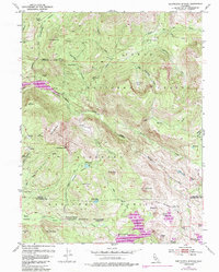
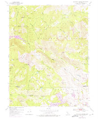
1953 Map of Wentworth Springs
USGS Topo · Published 1985About this map
Wentworth Springs and its nearby campground sit at the center of this 1953 survey, which was updated in the early 1970s to reflect the expansion of the Hell Hole Reservoir. The landscape is defined by the high-elevation divide between the Tahoe and Eldorado National Forests, where the Rubicon River carves through the Red Cliffs. Local landmarks like Hell Half Acre and The Pinnacles speak to the difficult geography that early surveyors and miners encountered.
Find a feature on this map
75 named features on this map. Tap any name to fly to it.
Don’t see what you’re looking for? This feature index may not catch every label — zoom into the map to look around manually.
Map Details
Editions of this 1953 Wentworth Springs Map
5 editions found
Other maps of this area

1889 · Pyramid Peak
USGS Topo · 1:125,000

1891 · Truckee
USGS Topo · 1:125,000

1891 · Pyramid Peak
USGS Topo · 1:125,000

1893 · Truckee
USGS Topo · 1:125,000

1895 · Pyramid Peak
USGS Topo · 1:125,000

1895 · Truckee
USGS Topo · 1:125,000

1896 · Pyramid Peak
USGS Topo · 1:125,000

1932 · Truckee
USGS Topo · 1:96,000

1940 · Truckee
USGS Topo · 1:125,000

1947 · Sacramento
USGS Topo · 1:250,000