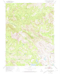
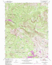
1953 Map of Wentworth Springs
USGS Topo · Published 1974About this map
Wentworth Springs and its mineral springs lie at the heart of this high-elevation terrain, marking a historic waypoint between the Tahoe National Forest and Eldorado National Forest. The landscape is defined by the steep canyon of the Rubicon River and a series of high peaks, including Jerrett Peak and McKinstry Peak. For those tracing early industrial or seasonal activity, the map reveals a remote Tungsten Mine and isolated outposts such as Miranda Cabin and Murry Camp. The region's hydrological character is captured through numerous alpine water bodies like Loon Lake, Spider Lake, and the aptly named Hell Hole. A network of historic paths, including the Steamboat Trail and McKinstry Trail, illustrates how this backcountry was navigated before the expansion of modern infrastructure.
Find a feature on this map
75 named features on this map. Tap any name to fly to it.
Don’t see what you’re looking for? This feature index may not catch every label — zoom into the map to look around manually.
Map Details
Editions of this 1953 Wentworth Springs Map
5 editions found
Other maps of this area

1889 · Pyramid Peak
USGS Topo · 1:125,000

1891 · Truckee
USGS Topo · 1:125,000

1891 · Pyramid Peak
USGS Topo · 1:125,000

1893 · Truckee
USGS Topo · 1:125,000

1895 · Pyramid Peak
USGS Topo · 1:125,000

1895 · Truckee
USGS Topo · 1:125,000

1896 · Pyramid Peak
USGS Topo · 1:125,000

1932 · Truckee
USGS Topo · 1:96,000

1940 · Truckee
USGS Topo · 1:125,000

1947 · Sacramento
USGS Topo · 1:250,000