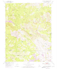
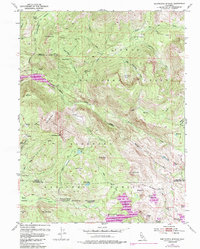
1953 Map of Wentworth Springs
USGS Topo · Published 1975About this map
Wentworth Springs and its surrounding mineral waters anchor this high-elevation landscape where the Tahoe National Forest meets the Eldorado National Forest. The 1973 revisions to the original 1953 survey reveal the dramatic impact of hydroelectric and water management infrastructure, most notably the expansion of the Hell Hole Reservoir along the Rubicon River and the enlarged footprint of Loon Lake. Beyond these major works, the map details a network of primitive transportation and resource extraction, from the Tungsten Mine near Upper Hell Hole to the specialized Little Sluice Box and Big Sluice Box water features. Settlement is sparse, limited to seasonal sites like Murry Camp and Miranda Cabin, while the terrain is defined by prominent landmarks such as McKinstry Peak, the striking Red Cliffs, and the meadow systems of Barts Valley and Gerle Meadow.
Find a feature on this map
72 named features on this map. Tap any name to fly to it.
Don’t see what you’re looking for? This feature index may not catch every label — zoom into the map to look around manually.
Map Details
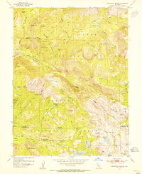
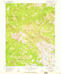
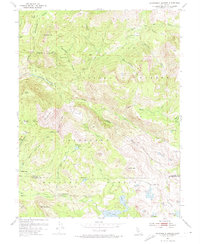
Editions of this 1953 Wentworth Springs Map
5 editions found
Other maps of this area

1889 · Pyramid Peak
USGS Topo · 1:125,000

1891 · Truckee
USGS Topo · 1:125,000

1891 · Pyramid Peak
USGS Topo · 1:125,000

1893 · Truckee
USGS Topo · 1:125,000

1895 · Pyramid Peak
USGS Topo · 1:125,000

1895 · Truckee
USGS Topo · 1:125,000

1896 · Pyramid Peak
USGS Topo · 1:125,000

1932 · Truckee
USGS Topo · 1:96,000

1940 · Truckee
USGS Topo · 1:125,000

1947 · Sacramento
USGS Topo · 1:250,000