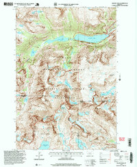
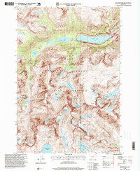
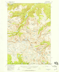
1996 Map of Granite Peak
USGS Topo · Published 1999About this map
Granite Peak and the surrounding high-elevation terrain of the Absaroka-Beartooth Wilderness define this mid-1990s survey of the Beartooth Range. The topography is dominated by massive permanent ice features, including Granite Glacier and Sky Top Glacier, which feed into a complex network of alpine basins. The hydrological system is anchored by the large Mystic Lake, where the Montana Power Dam regulates the outflow of West Rosebud Creek.
Find a feature on this map
44 named features on this map. Tap any name to fly to it.
Don’t see what you’re looking for? This feature index may not catch every label — zoom into the map to look around manually.
Map Details
Editions of this 1996 Granite Peak Map
2 editions found
Other maps of this area

1898 · Granite Mountain District
USGS Topo · 1:125,000

1932 · Nye No 1
USGS Topo · 1:48,000

1932 · Nye No 2
USGS Topo · 1:48,000
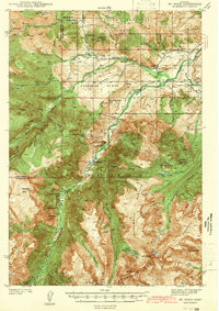
1939 · Mt Wood
USGS Topo · 1:62,500

1941 · Mt. Wood
USGS Topo · 1:62,500

1954 · Billings
USGS Topo · 1:250,000
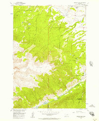
1956 · Emerald Lake
USGS Topo · 1:24,000
1956 · Alpine
USGS Topo · 1:62,500
1956 · Cooke City
USGS Topo · 1:62,500

1957 · Billings
USGS Topo · 1:250,000