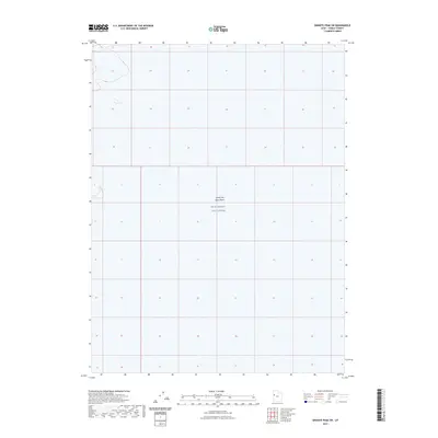
2023 Map of Granite Peak SW
USGS Topo · Published 2023About this map
The West Desert Test Center occupies the central expanse of this remote Tooele County quadrangle, marking a landscape dedicated to federal defense operations. This high-desert terrain is characterized by the vast, stark flats of the Great Salt Lake Desert, where the absence of traditional settlements or infrastructure highlights the area's specialized use for military testing and research. The mapping reveals a minimalist landscape where the primary features are the large-scale jurisdictional boundaries and the sheer scale of the saline desert floor. Researchers and historians of military installations can observe the geographic isolation that defined this portion of Utah during the early twenty-first century, providing a clear view of the spatial requirements for the Army’s testing activities in the West Desert.
Find a feature on this map
2 named features on this map. Tap any name to fly to it.
Don’t see what you’re looking for? This feature index may not catch every label — zoom into the map to look around manually.
Map Details
Editions of this 2023 Granite Peak SW Map
This is the sole edition of this map. No revisions or reprints were ever made.
Other maps of this area

1908 · Fish Springs
USGS Topo · 1:250,000

1910 · Fish Springs
USGS Topo · 1:250,000

1953 · Tooele
USGS Topo · 1:250,000

1953 · Delta
USGS Topo · 1:250,000

1954 · Granite Peak
USGS Topo · 1:24,000

1954 · Granite Peak SE
USGS Topo · 1:24,000

1955 · Tooele
USGS Topo · 1:250,000

1958 · Delta
USGS Topo · 1:250,000

1962 · Delta
USGS Topo · 1:250,000

1967 · Fish Springs NW
USGS Topo · 1:24,000