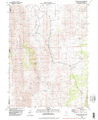
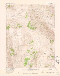
1980 Map of Granite Peak
USGS Topo · Published 1981About this map
Red Rock Valley and the Sand Hills dominate this high-desert landscape along the Nevada-California border. Published by the Nevada Bureau of Mines and Geology and the USGS, the map reveals a terrain defined by water scarcity and relief, where named springs provide critical points of reference across the arid basins. Notable water sources such as Chokecherry Spring, Whitney Spring, and Tunnel Spring are scattered between the elevations of Petersen Mountain and Granite Peak. Small-scale mining activity is evident through various prospects located in the western foothills. The road network is sparse, primarily consisting of the Red Rock Road and various unnamed jeep trails that navigate the valley floor and climb toward Freds Mountain. This survey captures the rural character of northern Washoe County before the significant modern expansion of nearby regional hubs, preserving the locations of remote landmarks like the Water Tank and Pasture Well.
Find a feature on this map
31 named features on this map. Tap any name to fly to it.
Don’t see what you’re looking for? This feature index may not catch every label — zoom into the map to look around manually.
Map Details
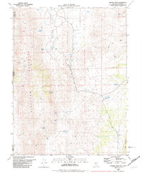
Editions of this 1980 Granite Peak Map
2 editions found
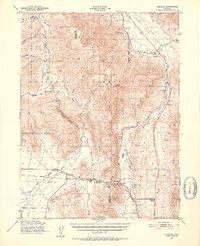
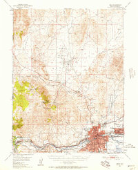
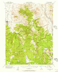
Other maps of this area

1890 · Sierraville
USGS Topo · 1:125,000

1891 · Reno
USGS Topo · 1:125,000

1892 · Sierraville
USGS Topo · 1:125,000

1893 · Reno
USGS Topo · 1:125,000

1894 · Sierraville
USGS Topo · 1:125,000
1950 · Chilcoot
USGS Topo · 1:62,500
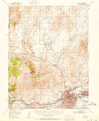
1950 · Reno
USGS Topo · 1:62,500
1951 · Reno
USGS Topo · 1:62,500
1955 · Loyalton
USGS Topo · 1:62,500
1957 · Dogskin Mountain
USGS Topo · 1:62,500