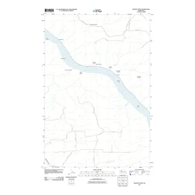
2011 Map of Granite Point
USGS Topo · Published 2011About this map
Granite Point and the towering basalt formations of Castle Rock overlook the deep channel of the Snake River as it winds through Whitman County. The landscape is defined by the impounded waters of Lower Granite Lake, which has altered the traditional shoreline and influenced the local geography of bars and canyons. Along the river's eastern banks, the small settlement of Bishop sits near the mouth of Yakawawa Canyon, while landforms like Bishop Bar and Kelly Bar mark the shifting riverbed history. The surrounding uplands are carved by an intricate network of drainages, including Woodruff Canyon, Suicide Canyon, and Deadman Gulch. A rural road system, featuring Wawawai Rd and Malone Hill Rd, provides access across the high Rim Rock Plateau, connecting these remote canyons to the agricultural plains above the river breaks.
Find a feature on this map
32 named features on this map. Tap any name to fly to it.
Don’t see what you’re looking for? This feature index may not catch every label — zoom into the map to look around manually.
Map Details
Editions of this 2011 Granite Point Map
This is the sole edition of this map. No revisions or reprints were ever made.
Other maps of this area

1910 · Pullman
USGS Topo · 1:125,000

1943 · Peola
USGS Topo · 1:62,500

1945 · Clarkston
USGS Topo · 1:62,500

1946 · Peola
USGS Topo · 1:62,500

1948 · Clarkston
USGS Topo · 1:62,500

1955 · Pullman
USGS Topo · 1:250,000

1958 · Pullman
USGS Topo · 1:250,000

1964 · Kirby
USGS Topo · 1:24,000

1964 · Colton
USGS Topo · 1:24,000

1964 · Ewartsville
USGS Topo · 1:24,000