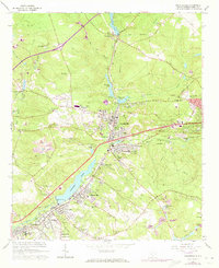
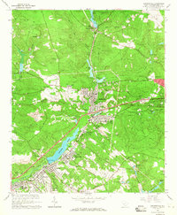
1964 Map of Graniteville
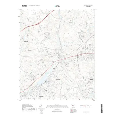
USGS Topo · Published 1981About this map
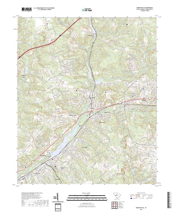
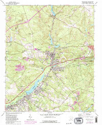
Horse Creek serves as the industrial and geographical spine of this Aiken County corridor, connecting a dense string of mill settlements from Vaucluse down through Graniteville and Langley. The landscape is heavily influenced by the presence of the Southern railroad and the expansive Langley Pond, which anchors the lower half of the map. This 1964 survey, with revisions into the early 1980s, details a transition from early industrial patterns to modern infrastructure, visible in the remnants of an old road grade and a Trolley Line set against newer developments.
Find a feature on this map
70 named features on this map. Tap any name to fly to it.
Don’t see what you’re looking for? This feature index may not catch every label — zoom into the map to look around manually.
Map Details
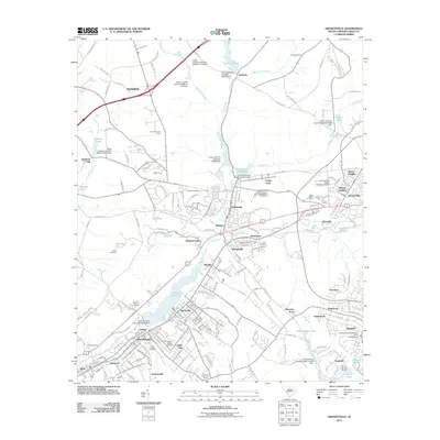
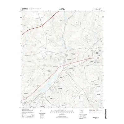
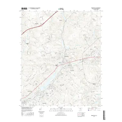
Editions of this 1964 Graniteville Map
3 editions found
Historical Maps of Aiken Through Time
7 maps found