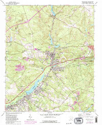
1964 Map of Graniteville
USGS Topo · Published 1981About this map
Horse Creek defines the industrial and residential spine of this Aiken County corridor, powering the chain of ponds and mill settlements that characterize the region. From Vaucluse in the north through Graniteville and down to Langley, the map illustrates a landscape shaped by textile manufacturing and transit. The Southern Railway and the historic Dixie Highway parallel the water, connecting distinct neighborhoods such as Freedman, Madison, and Stiefeltown.
Find a feature on this map
62 named features on this map. Tap any name to fly to it.
Don’t see what you’re looking for? This feature index may not catch every label — zoom into the map to look around manually.
Map Details
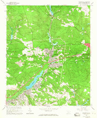
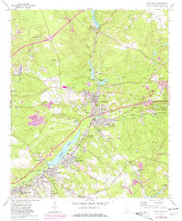
Editions of this 1964 Graniteville Map
3 editions found
Other maps of this area

1920 · Aiken
USGS Topo · 1:48,000

1920 · Talatha
USGS Topo · 1:48,000

1921 · Augusta
USGS Topo · 1:62,500

1921 · Aiken
USGS Topo · 1:62,500

1921 · Talatha
USGS Topo · 1:62,500

1923 · Warrenville
USGS Topo · 1:48,000

1928 · Warrenville
USGS Topo · 1:62,500

1943 · Aiken
USGS Topo · 1:62,500

1943 · Augusta East
USGS Topo · 1:125,000

1943 · Warrenville
USGS Topo · 1:62,500