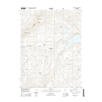
2015 Map of Graniteville
USGS Topo · Published 2015About this map
Graniteville and Gaston anchor this high-elevation landscape within the Tahoe National Forest, where the complex drainage systems of the Middle Yuba River and Texas Creek define the terrain. The map details a legacy of hydraulic management and industrial movement, evidenced by the Bowman Tunnel and Clear Creek Tunnel, which connect significant water bodies like Bowman Lake to the surrounding canyons.
Find a feature on this map
67 named features on this map. Tap any name to fly to it.
Don’t see what you’re looking for? This feature index may not catch every label — zoom into the map to look around manually.
Map Details
Editions of this 2015 Graniteville Map
This is the sole edition of this map. No revisions or reprints were ever made.
Other maps of this area
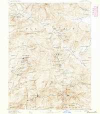
1891 · Downieville
USGS Topo · 1:125,000
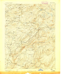
1891 · Colfax
USGS Topo · 1:125,000
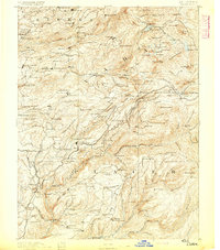
1892 · Colfax
USGS Topo · 1:125,000
1893 · Downieville
USGS Topo · 1:125,000
1894 · Colfax
USGS Topo · 1:125,000
1895 · Downieville
USGS Topo · 1:125,000
1896 · Downieville
USGS Topo · 1:125,000
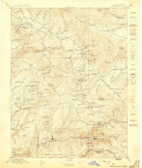
1897 · Downieville
USGS Topo · 1:125,000
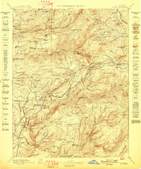
1898 · Colfax
USGS Topo · 1:125,000
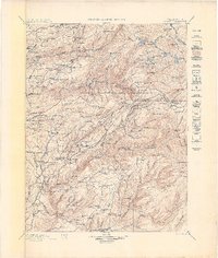
1900 · Colfax
USGS Topo · 1:125,000