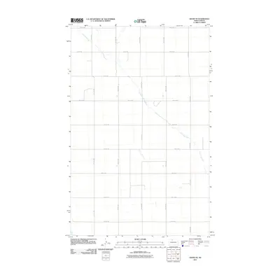
2011 Map of Grano NE
USGS Topo · Published 2011About this map
Little Deep Creek meanders southeastward across this high-plains landscape, carving a subtle valley through the rigid section-line grid of Renville County. This map documents a sparsely settled agricultural region defined by a remarkably consistent network of rural roads, including 92nd St NW at the northern boundary and 84th St NW at the southern edge. The rectilinear pattern of the land is maintained by a series of gravel or dirt tracks such as 41st Ave NW and 37th Ave NW, which divide the terrain into traditional mile-square sections. Unlike many areas with clustered settlements, this portion of North Dakota is characterized by its open agrarian space, where the only break in the geometric precision is the natural, winding path of the creek.
Find a feature on this map
15 named features on this map. Tap any name to fly to it.
Don’t see what you’re looking for? This feature index may not catch every label — zoom into the map to look around manually.
Map Details
Editions of this 2011 Grano NE Map
This is the sole edition of this map. No revisions or reprints were ever made.
Other maps of this area

1948 · Dokken SW
USGS Topo · 1:24,000

1948 · Mohall
USGS Topo · 1:24,000

1948 · Lansford
USGS Topo · 1:62,500

1948 · Lansford SW
USGS Topo · 1:24,000

1949 · Lansford NW
USGS Topo · 1:24,000

1949 · Mohall SW
USGS Topo · 1:24,000

1949 · Lansford SW
USGS Topo · 1:24,000

1949 · Grano SW
USGS Topo · 1:24,000

1949 · Greene
USGS Topo · 1:24,000

1949 · Grano
USGS Topo · 1:24,000