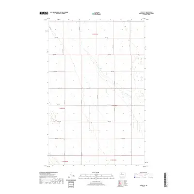
2020 Map of Grano NE
USGS Topo · Published 2020About this map
Little Deep Cr meanders southeast across this section of Renville County, providing the primary hydrological drainage for a landscape defined by the Public Land Survey System. The map reveals the rigid geometry of North Dakota's rural infrastructure, where township lines like t161n r84w and t160n r84w dictate the placement of the section-line road network. This grid is comprised of routes such as 92nd St NW and 41st Ave NW, which partition the prairie into the traditional agricultural blocks that have characterized the region since settlement. Local transit is anchored by Co Rd 9 and Co Rd 9 S, tracing the eastern edge of the survey area. Small prairie potholes and wetlands are scattered throughout the sections, particularly visible in the north, reflecting the glacial topography of the drift prairie.
Find a feature on this map
21 named features on this map. Tap any name to fly to it.
Don’t see what you’re looking for? This feature index may not catch every label — zoom into the map to look around manually.
Map Details
Editions of this 2020 Grano NE Map
This is the sole edition of this map. No revisions or reprints were ever made.
Other maps of this area

1948 · Dokken SW
USGS Topo · 1:24,000

1948 · Mohall
USGS Topo · 1:24,000

1948 · Lansford
USGS Topo · 1:62,500

1948 · Lansford SW
USGS Topo · 1:24,000

1949 · Lansford NW
USGS Topo · 1:24,000

1949 · Mohall SW
USGS Topo · 1:24,000

1949 · Lansford SW
USGS Topo · 1:24,000

1949 · Grano SW
USGS Topo · 1:24,000

1949 · Greene
USGS Topo · 1:24,000

1949 · Grano
USGS Topo · 1:24,000