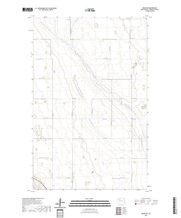
2024 Map of Grano NE
USGS Topo · Published 2024About this map
Upper Souris National Wildlife Refuge anchors the southern boundary of this Renville County landscape, where the prairie topography is defined by the winding course of Little Deep Creek. The map reveals a strictly organized section-line road network, including Co Rd 9 and a series of numbered routes from 84th St NW up to 92nd St NW. These gravel and dirt roads underscore the rural, agricultural character of North Dakota's drift prairie. In the north, the Renville County Waterfowl Production Area highlights the region's importance as a migratory habitat. The landscape is dotted with numerous small prairie potholes and wetlands, typical of the glaciated plains, which dictate the placement of farmstead access and the seasonal flow of the creek as it moves through the townships of t160n r84w and t161n r84w.
Find a feature on this map
23 named features on this map. Tap any name to fly to it.
Don’t see what you’re looking for? This feature index may not catch every label — zoom into the map to look around manually.
Map Details
Editions of this 2024 Grano NE Map
This is the sole edition of this map. No revisions or reprints were ever made.
Other maps of this area

1948 · Dokken SW
USGS Topo · 1:24,000

1948 · Mohall
USGS Topo · 1:24,000

1948 · Lansford
USGS Topo · 1:62,500

1948 · Lansford SW
USGS Topo · 1:24,000

1949 · Lansford NW
USGS Topo · 1:24,000

1949 · Mohall SW
USGS Topo · 1:24,000

1949 · Lansford SW
USGS Topo · 1:24,000

1949 · Grano SW
USGS Topo · 1:24,000

1949 · Greene
USGS Topo · 1:24,000

1949 · Grano
USGS Topo · 1:24,000