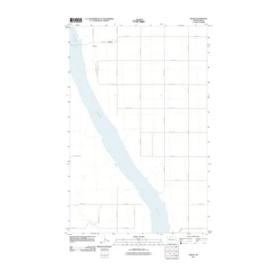
2011 Map of Grano
USGS Topo · Published 2011About this map
Lake Darling dominates the western half of this Renville County landscape, its winding shoreline carving a path through the prairie. The small community of Grano sits at the northern edge of the survey, serving as a focal point for the surrounding agricultural grid. This 2011 documentation of the region shows a highly organized network of section roads, including 5th Ave W and 83rd St NW, which define the local transport patterns. Just south of the settlement, the Grano Cemetery provides a specific point of interest for genealogists and local historians tracking family roots in the area. The map illustrates how the natural curvature of the lake basin contrasts with the rigid, square-mile township geometry that characterizes this portion of North Dakota.
Find a feature on this map
19 named features on this map. Tap any name to fly to it.
Don’t see what you’re looking for? This feature index may not catch every label — zoom into the map to look around manually.
Map Details
Editions of this 2011 Grano Map
This is the sole edition of this map. No revisions or reprints were ever made.
Other maps of this area

1948 · Lansford
USGS Topo · 1:62,500

1948 · Burlington
USGS Topo · 1:62,500

1948 · Lansford SW
USGS Topo · 1:24,000

1949 · Burlington NW
USGS Topo · 1:24,000

1949 · Lansford NW
USGS Topo · 1:24,000

1949 · Lansford SW
USGS Topo · 1:24,000

1949 · Carpio NE
USGS Topo · 1:24,000

1949 · Carpio
USGS Topo · 1:24,000

1949 · Grano SW
USGS Topo · 1:24,000

1949 · Greene
USGS Topo · 1:24,000