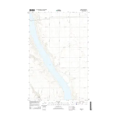
2014 Map of Grano
USGS Topo · Published 2014About this map
Grano sits on the high ground of Renville County, overlooking the expansive waters of Lake Darling in this North Dakota landscape. The settlement is defined by a grid of county roads and section lines, including CR-26 and CR-9, which facilitate travel across the prairie. Local history is anchored by the Grano Cem, located just west of the main cluster of buildings along the 41st Ave NW corridor. The terrain transitions from flat agricultural fields to the more complex topography surrounding the lake and the southern drainage of Mackobee Coulee. This geographic arrangement illustrates the balance between the region's managed farmland and the natural reservoir system that dictates much of the local land use.
Find a feature on this map
18 named features on this map. Tap any name to fly to it.
Don’t see what you’re looking for? This feature index may not catch every label — zoom into the map to look around manually.
Map Details
Editions of this 2014 Grano Map
This is the sole edition of this map. No revisions or reprints were ever made.
Other maps of this area
1948 · Lansford
USGS Topo · 1:62,500
1948 · Burlington
USGS Topo · 1:62,500
1948 · Lansford SW
USGS Topo · 1:24,000
1949 · Burlington NW
USGS Topo · 1:24,000
1949 · Lansford NW
USGS Topo · 1:24,000
1949 · Lansford SW
USGS Topo · 1:24,000
1949 · Carpio NE
USGS Topo · 1:24,000
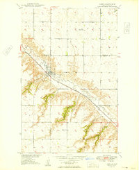
1949 · Carpio
USGS Topo · 1:24,000
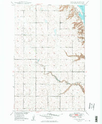
1949 · Grano SW
USGS Topo · 1:24,000
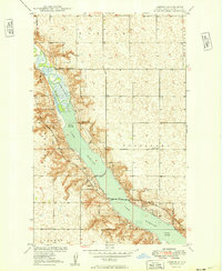
1949 · Greene
USGS Topo · 1:24,000