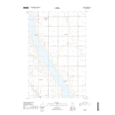
2017 Map of Grano
USGS Topo · Published 2017About this map
Grano serves as the primary settlement in this Renville County landscape, situated just east of the expansive Lake Darling. The town's layout is defined by a grid including Metcalf St, 2nd Ave E, and 3rd Ave, with the Grano Cem located on the western edge overlooking the water. This 2017 survey highlights the stark transition from the residential and agricultural uplands to the Souris River valley, which was inundated to form the lake. To the south, the topography is carved by Mackobee Coulee, which drains into the reservoir. A network of rural routes, such as Co Rd 26 and various numbered streets like 82nd St NW, provides access to the surrounding farmsteads and township sections in this northern plains region.
Find a feature on this map
21 named features on this map. Tap any name to fly to it.
Don’t see what you’re looking for? This feature index may not catch every label — zoom into the map to look around manually.
Map Details
Editions of this 2017 Grano Map
This is the sole edition of this map. No revisions or reprints were ever made.
Other maps of this area
1948 · Lansford
USGS Topo · 1:62,500
1948 · Burlington
USGS Topo · 1:62,500
1948 · Lansford SW
USGS Topo · 1:24,000
1949 · Burlington NW
USGS Topo · 1:24,000
1949 · Lansford NW
USGS Topo · 1:24,000
1949 · Lansford SW
USGS Topo · 1:24,000
1949 · Carpio NE
USGS Topo · 1:24,000
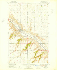
1949 · Carpio
USGS Topo · 1:24,000
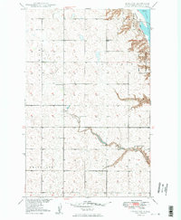
1949 · Grano SW
USGS Topo · 1:24,000
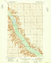
1949 · Greene
USGS Topo · 1:24,000