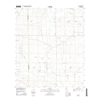
2015 Map of Grant
USGS Topo · Published 2015About this map
Whisky Chitto Creek meanders through the southern half of this landscape, anchoring a network of drainage basins that includes Tenmile Cr and Sixmile Creek. The area is characterized by rural parish life at the boundary of Beauregard Parish and Allen Parish, where small settlements like Grant and Tenmile are connected by a grid of local roads and gravel paths. Historically-minded researchers can identify several family and community landmarks, such as Hamilton Cem and Horton Cem, which reflect the genealogical heritage of the region. The transport network is notably dense with named local routes like Dick Weldon Rd and Six Mile Pentacost Church Rd, indicating a terrain thoroughly integrated with local logging or farming access. Northward, the landscape rises slightly near Reids, where the headwaters of Soapstone Cr and Schoolhouse Br begin their descent toward the creek systems below.
Find a feature on this map
67 named features on this map. Tap any name to fly to it.
Don’t see what you’re looking for? This feature index may not catch every label — zoom into the map to look around manually.
Map Details
Editions of this 2015 Grant Map
This is the sole edition of this map. No revisions or reprints were ever made.
Other maps of this area
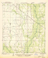
1935 · Mittie
USGS Topo · 1:31,680
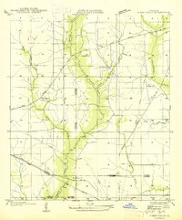
1947 · Steep Gully
USGS Topo · 1:31,680
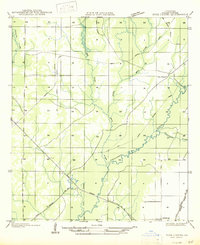
1947 · Pine Chapel
USGS Topo · 1:31,680
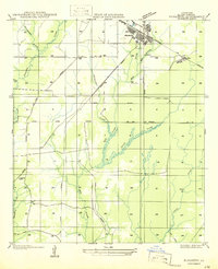
1947 · Elizabeth
USGS Topo · 1:31,680
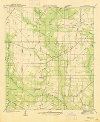
1947 · Grant
USGS Topo · 1:31,680
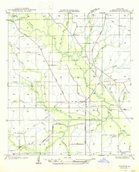
1947 · Bundick
USGS Topo · 1:31,680
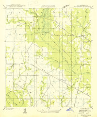
1947 · Sugartown
USGS Topo · 1:31,680
1947 · Sugrue
USGS Topo · 1:31,680
1947 · Pitkin
USGS Topo · 1:31,680
1948 · Grant
USGS Topo · 1:24,000