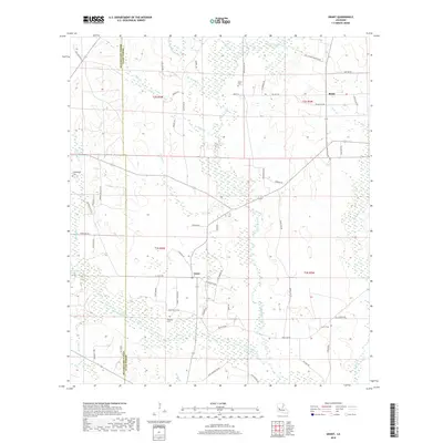
2018 Map of Grant
USGS Topo · Published 2018About this map
Whisky Chitto Creek and Sixmile Creek flow through this section of the Louisiana piney woods along the border of Beauregard and Allen Parishes. The settlement of Grant serves as a central point for the local rural road network, while Reids sits to the northeast. This landscape is defined by its numerous small waterways, including Soapstone Creek and Brushy Branch, which drain the low-lying terrain. Genealogy researchers will find several documented burial sites, such as Hamilton Cemetery and Martin Cemetery, which are connected by a web of local routes like Townson Road and Gravel Pit Road. The map reveals the rural character of the region, where family-named roads like Gladys Houston Road and Monroe Baggett Road link scattered homesites and timberlands.
Find a feature on this map
64 named features on this map. Tap any name to fly to it.
Don’t see what you’re looking for? This feature index may not catch every label — zoom into the map to look around manually.
Map Details
Editions of this 2018 Grant Map
This is the sole edition of this map. No revisions or reprints were ever made.
Other maps of this area
1935 · Mittie
USGS Topo · 1:31,680
1947 · Steep Gully
USGS Topo · 1:31,680
1947 · Pine Chapel
USGS Topo · 1:31,680
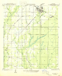
1947 · Elizabeth
USGS Topo · 1:31,680
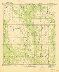
1947 · Grant
USGS Topo · 1:31,680
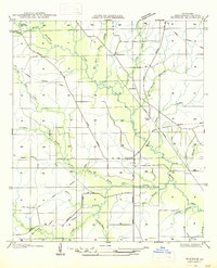
1947 · Bundick
USGS Topo · 1:31,680
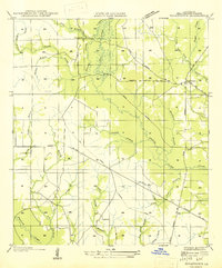
1947 · Sugartown
USGS Topo · 1:31,680
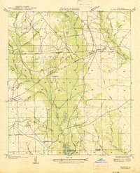
1947 · Sugrue
USGS Topo · 1:31,680
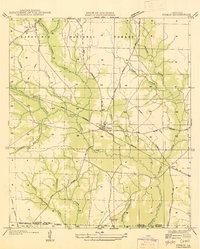
1947 · Pitkin
USGS Topo · 1:31,680
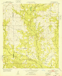
1948 · Grant
USGS Topo · 1:24,000