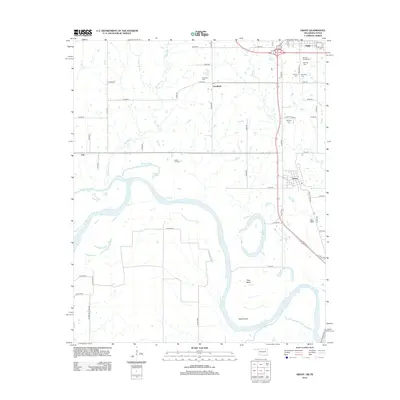
2012 Map of Grant
USGS Topo · Published 2012About this map
The Red River snakes along the southern border of this landscape, creating a complex hydrologic network of oxbows and cutoffs between Oklahoma and Texas. Near Grant, the river forms prominent features like Pitts Bend and Allen Island, while Roebuck Lake sits as a remnant of the river's shifting course. Further north, the confluence of Muddy Boggy Cr and the Boggy Cutoff marks the low-lying terrain.
Find a feature on this map
54 named features on this map. Tap any name to fly to it.
Don’t see what you’re looking for? This feature index may not catch every label — zoom into the map to look around manually.
Map Details
Editions of this 2012 Grant Map
2 editions found
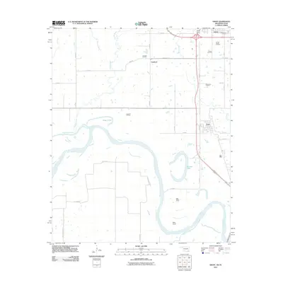
Other maps of this area

1901 · Antlers
USGS Topo · 1:125,000

1901 · Alikchi
USGS Topo · 1:125,000

1903 · Paris
USGS Topo · 1:125,000

1912 · Antlers
USGS Topo · 1:125,000

1925 · Antlers
USGS Topo · 1:125,000

1948 · Grant
USGS Topo · 1:62,500

1949 · Grant
USGS Topo · 1:62,500

1950 · Mcalester
USGS Topo · 1:250,000

1951 · Slate Shoals
USGS Topo · 1:24,000

1951 · Shoals
USGS Topo · 1:24,000