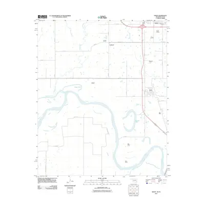
2012 Map of Grant
USGS Topo · Published 2012About this map
The southern Oklahoma borderlands near Hugo are defined by the winding course of the Red River, which carves deep meanders and oxbow features like Roebuck Lake and Pitts Bend into the landscape. This early 21st-century survey documents the transition from the city of Hugo down to the riverside settlement of Grant, following the corridor of State HWY 271 Alt. The map is particularly dense with genealogical data, marking numerous rural burial grounds including Mount Olivet Cemetery, Springs Chapel Cemetery, and Sweet Hill Cemetery. Local hydrology is complex, featuring the confluence of Muddy Boggy Creek and the Boggy Cutoff as they feed into the primary river channel near Allen Island. The arrangement of small communities like Goodland and its associated Goodland Cemetery reflects a pattern of long-established rural settlement supported by the fertile bottomlands of the Red River valley.
Find a feature on this map
36 named features on this map. Tap any name to fly to it.
Don’t see what you’re looking for? This feature index may not catch every label — zoom into the map to look around manually.
Map Details
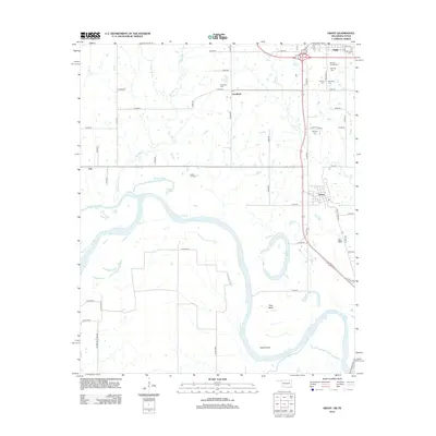
Editions of this 2012 Grant Map
2 editions found
Other maps of this area

1901 · Antlers
USGS Topo · 1:125,000

1901 · Alikchi
USGS Topo · 1:125,000

1903 · Paris
USGS Topo · 1:125,000

1912 · Antlers
USGS Topo · 1:125,000

1925 · Antlers
USGS Topo · 1:125,000

1948 · Grant
USGS Topo · 1:62,500

1949 · Grant
USGS Topo · 1:62,500

1950 · Mcalester
USGS Topo · 1:250,000

1951 · Slate Shoals
USGS Topo · 1:24,000

1951 · Shoals
USGS Topo · 1:24,000